Location: Flesherton, Grey County, Ontario
Estimated Gravel Time: 75%
Full Route Map:
Distance: 81.9 km (50.3 miles)
Suggested Tire Width: 35mm or wider
Amenities: The starting point in the community of Flesherton has several convenience stores, a pizzeria and café. The hamlet of Maxwell approximately 16km from the start (and slightly off route) has a small diner. The village of Kimberly, approximately 15km from the end of the loop has a general store, a seasonal restaurant, and washroom facilities available.
Parking: The village of Flesherton has ample on-street parking available.
Route Description:
This 81km route samples a portion of the third day of the BT700 bikepacking route developed by Matthew Kadey, and includes a taste of some of the more challenging climbs the Grey Highlands has to offer.

Starting from the village of Flesherton, the route heads north-east via Collingwood Street for just under 2km, before turning right and leaving the pavement behind via East Back Line Rd. At the end of East Back Rd., riders make a right on Road 160 and briefly return to asphalt, before making a left and returning to gravel, following 4th Concession B east for almost 7km, almost the entire southern portion of the loop.

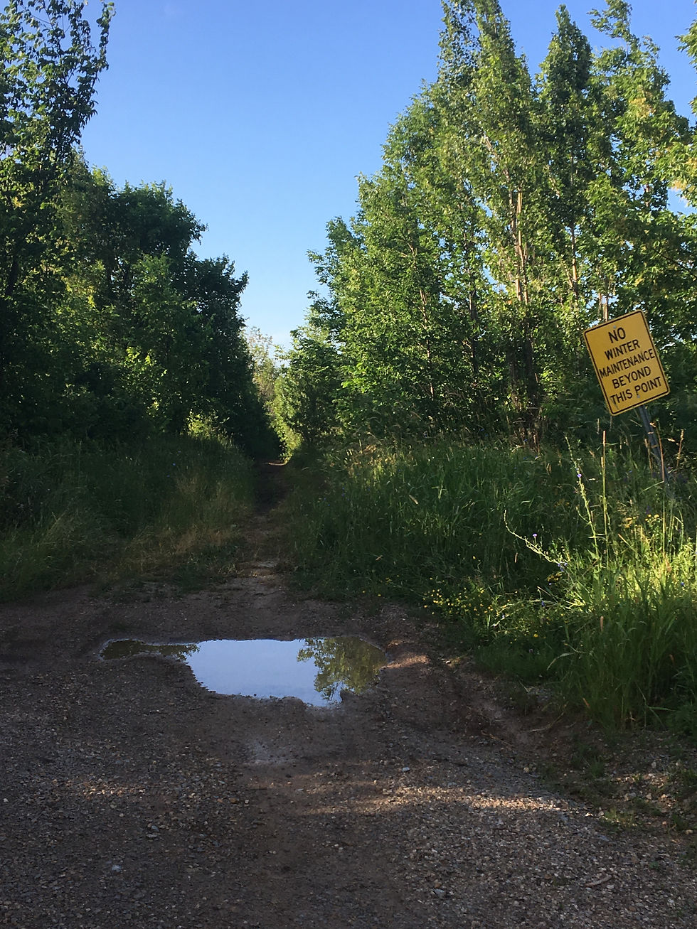
Eventually, riders will exit 4th Concession B and head north via 41a Rd., which then become 41b Rd. after crossing Grey County Rd 4. After just over a kilometre, riders will encounter a small but significant stretch of unmaintained. Caution must be exercised here as this section of the route includes a steep, rocky descent. Those looking to avoid this section of unmaintained are advised to continue on 4th Concession B to Grey Rd. 2. From here, turn left through the hamlet of Maxwell, before returning to the route via Road 45.


Those choosing to stay on route continue north on 41b Rd., before making a right onto Concession 10, followed by a left onto Road 45. From here, the continues north, staying on straight dirt farm roads before eventually reaching the Duncan Escarpment, where the route winds its way steeply up the ridge before making a left onto 9th Sideroad, followed by a right onto the Blue Mountain-Euphrasia Townline.

The route continues north, eventually transitioning to pavement after crossing Grey County Rd 119, then making a left onto Beaver Valley Rd (Grey 13 Rd). After just over a kilometre, riders make a right and return to gravel via Side Rd 19, followed by a left as the route follows the winding Quiet Valley Rd. to the route`s steadiest (and steepest) paved climb up Grey Rd 7.
After returning to Side Rd 19, the route eventually heads south, staying on quiet pavement for almost 7km before briefly returning to gravel as riders make a left onto 7A Side Rd. and a brief section of unmaintained. Eventually, the route returns to pavement and enters the hamlet of Kimberly, heading south past the Kimberly General Store before continuing on asphalt via Grey Rd 30.After just over 3.5km, the route transitions back to gravel via Lower Valley Rd. and the beginning of an extended 8.5km climb almost back to the starting point in Flesherton.


Comments