
Location: Sharbot Lake, Frontenac County, Ontario
Estimated Gravel Time: 90%
Full Route Map:
Distance: 67.7 km (41.9 miles)
Suggested Tire Width: 35mm or wider
Amenities: The starting point in the village of Sharbot Lake has several convenience stores and restaurants. A small public beach on the northern shores of Big Clear Lake offers access to a privy. The hamlet of Arden, at the approximate halfway point, serves as an alternative starting point and host a small general store and chip stand. Finally, a large public beach can be found just off route on the north-eastern shores of Long Lake, approximately 17km from the end of the loop.
Parking: Ample on-street parking can be found in the village of Sharbot Lake. Public off-street parking can be found at Sharbot Lake Beach. Those wishing to avail themselves of Sharbot Lake’s amenities during the ride itself are advised to start from the hamlet of Arden. Here, off street parking can be found at the new municipal parking lot off Arden Rd., or the Kennebec Recreation Park,
Route Description:

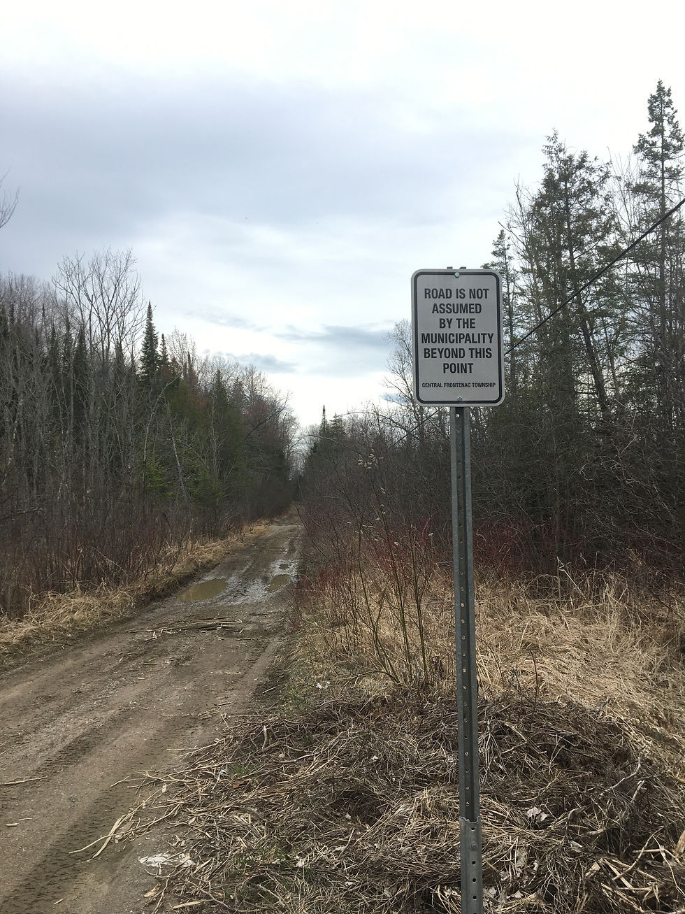
Between 1852-1862, the Frontenac Road was constructed as one of several “colonization roads”, in an effort to encourage settlement south of the Madawaska River. Although free land grants were offered, the folly of farming this region of the Precambrian Shield soon became apparent, as poor soil and a harsh climate discouraged any large permanent settlements from taking root. This 68km loop samples an 18km section of this historic route, highlighted by some of the best rolling and twisty gravel the region has to offer.

Starting from Sharbot Lake, the route proceeds counter-clockwise, heading north along the K&P Trail to Road 38, briefly following this main road to Cannon Rd. before making a right an rejoining the K&P Trail. From here, riders follow the trail north for approximately 4.5km, eventually making a left onto Bell Line Rd., as the route follows this rollercoaster section of gravel for approximately 14km.

As the route approaches Highway 7, riders have the option of continuing on Swamp Rd. via an extended portion of unmaintained, effectively bypassing most of the busy highway. However, this road’s name should provide a clue that it is only rideable during extremely dry periods. Unfortunately, should the section of the loop prove to be impassable, the only alternative is to ride a small section of Highway 7. As this road sees a large amount of high-speed traffic, it is highly recommended that riders make use of the gravel shoulder, the outer of which is firm and highly rideable.

After just over 2km, riders leave Highway 7 behind and turn left onto Mountain Grove Rd, followed by a quick right onto Price Rd. The route then follows this dirt road south-west for just over 6km, eventually hugging the north shores of Big Clear Lake and passing a small public beach (with a privy), before reaching the hamlet of Arden, the approximate halfway point of the loop.
Continuing briefly south on Arden Rd, the route returns to dirt via a section of the Central Frontenac Rail Trail. Shortly thereafter, riders make a left onto Clark Rd., continuing on gravel before making another left onto Brock Rd., an extended section of not quite asphalt, not quite gravel (graphalt?), which takes riders all the way to the route’s namesake and highlight, Frontenac Colonial Rd.

Turning right at the cemetery, route follows an 18km section of Frontenac and Ducharme Roads, featuring a heady rollercoaster of ups/downs and twists/turns, guaranteed to put a smile on your face. As an added bonus, this portion of the route passes close to the shores of Long Lake, providing access to a lovely large public beach/boat launch, complete with picnic tables and a large privy.

Eventually, the fun must end as riders eventually reach Road 38. Turning left here and following a brief stretch of pavement, the route soon finds its way back to dirt via the K&P Trail, following the rail trail north for approximately 8km all the way back to the starting point in Sharbot Lake.

Comments